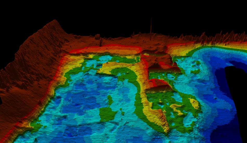
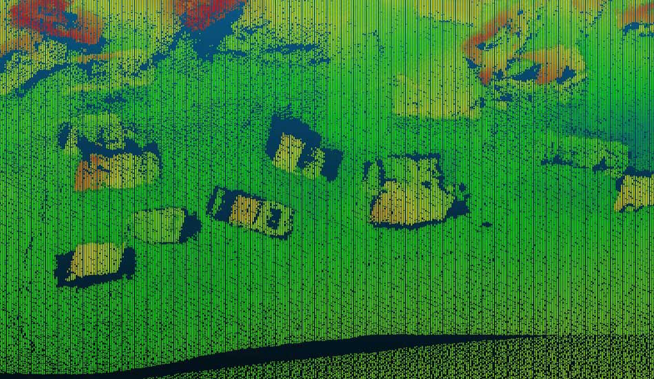
Hydrographic Surveying
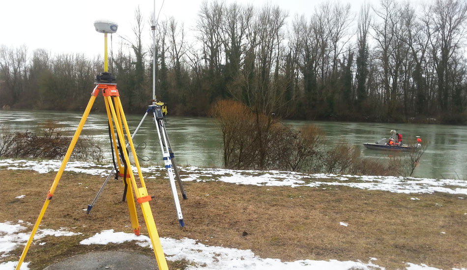
All our expertise in any circumstances
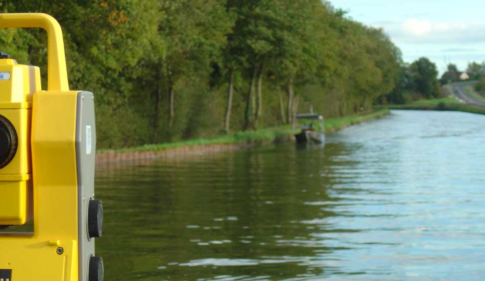
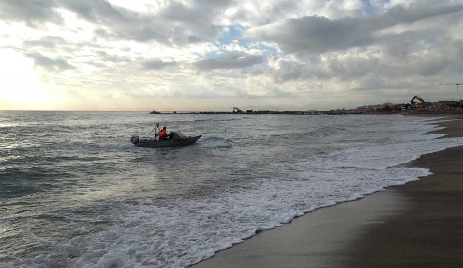
The experience of our hydrographers & topographers ensure you a rigorous and adapted surveys whatever is the environment of intervention.
From creek to the ocean, from water intake to huge dams, open air or in tunnel environment, we are able to implement the most successful and most adapted tools.
We provide hydrographic measurements that meet the international standards, a quality geo-referencing and layout edition adapted to your needs.